
Summary:
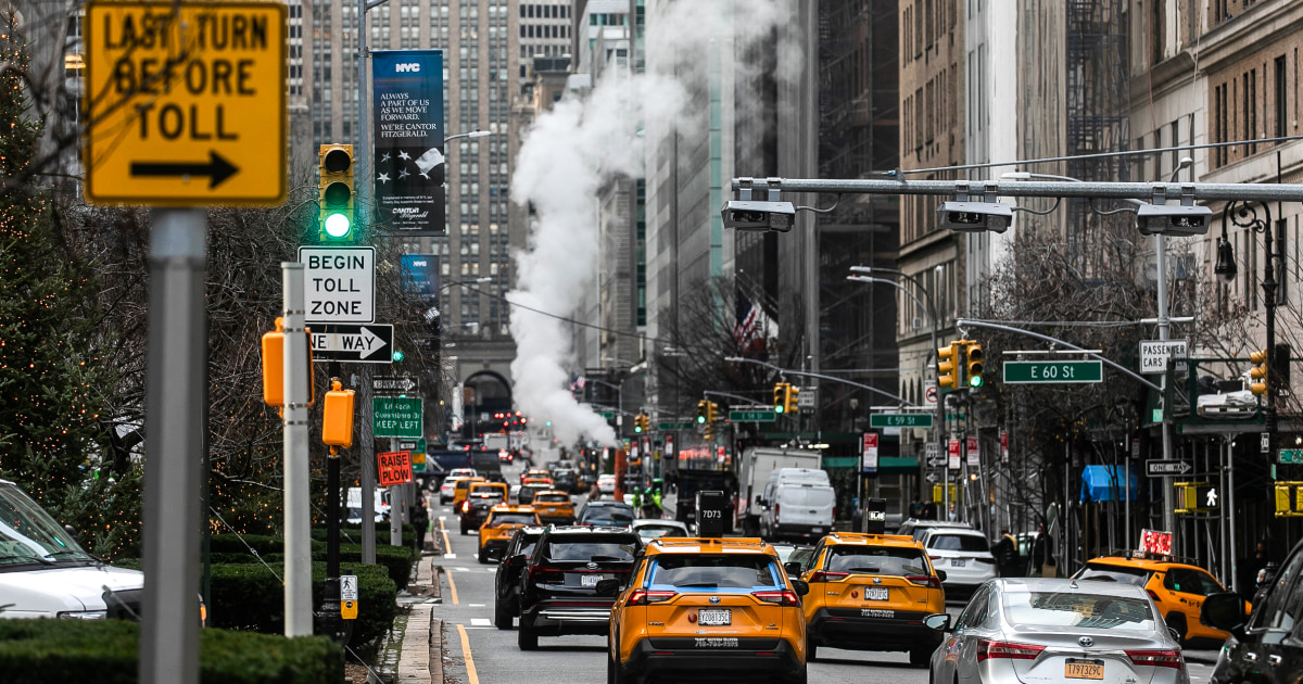
NYC faces its biggest snowstorm of the season this week.
A frigid polar vortex will bring dangerously low wind chills, potentially reaching -50°F.
The storm is expected to hit the tri-state area on Thursday morning.
Parts of the country will experience their 10th and coldest polar vortex, with temperatures potentially reaching -40°F.
Heavy rain and flooding in other parts of the country have already resulted in at least two deaths.
NYC Braces for Historic Snowstorm and Arctic Blast
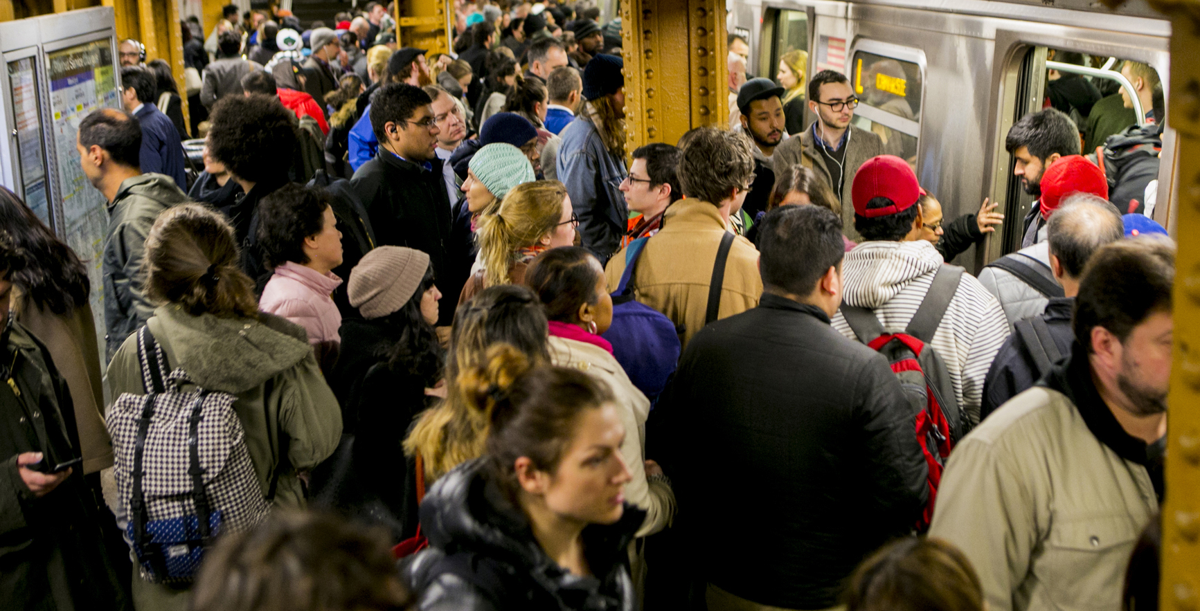
New York City is bracing for its biggest snowstorm of the season, arriving alongside a dangerous polar vortex bringing wind chills as low as -50°F (-45°C). The storm, expected to hit the tri-state area Thursday morning, follows heavy rain and strong winds across the region.
<br>The Snow Threat:
While the exact snowfall remains uncertain, meteorologists warn this could surpass the season's previous high of three inches. The storm's proximity to the coast will determine the duration and intensity of the snowfall.
<br>Temperatures Plummet:
Before the storm, NYC will see low temperatures around 25°F (-3°C), rising to only around 35°F (1°C) in the afternoon. Other parts of the nation, particularly the Northern Rockies and Northern Plains, will experience even more extreme conditions, with temperatures well below freezing and potential wind chills reaching -40°F.
Beyond the Snow:
Severe weather is impacting other areas as well. Heavy downpours in Louisville, Kentucky, have led to intense flooding and at least two deaths. Meanwhile, tornado warnings were issued in parts of Georgia and Florida.
<br>Stay safe and warm, New Yorkers!


Comments
Join Our Community
Create an account to share your thoughts, engage with others, and be part of our growing community.